We find patterns on Earth, from space.
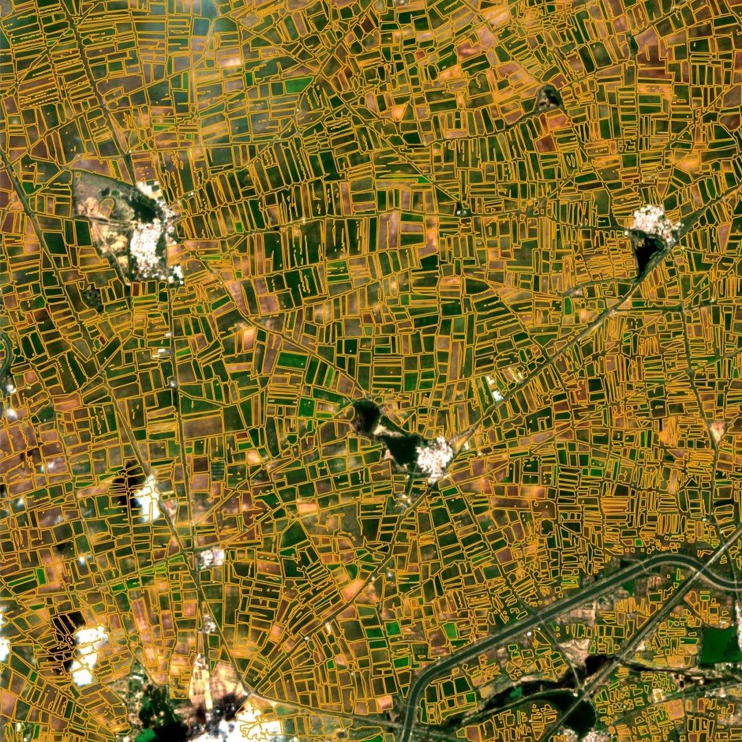
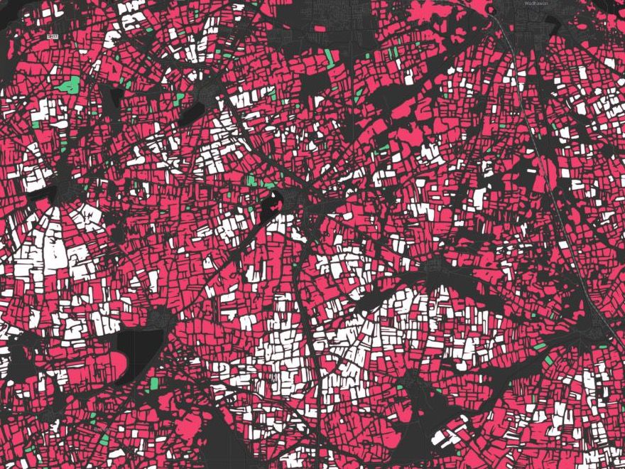
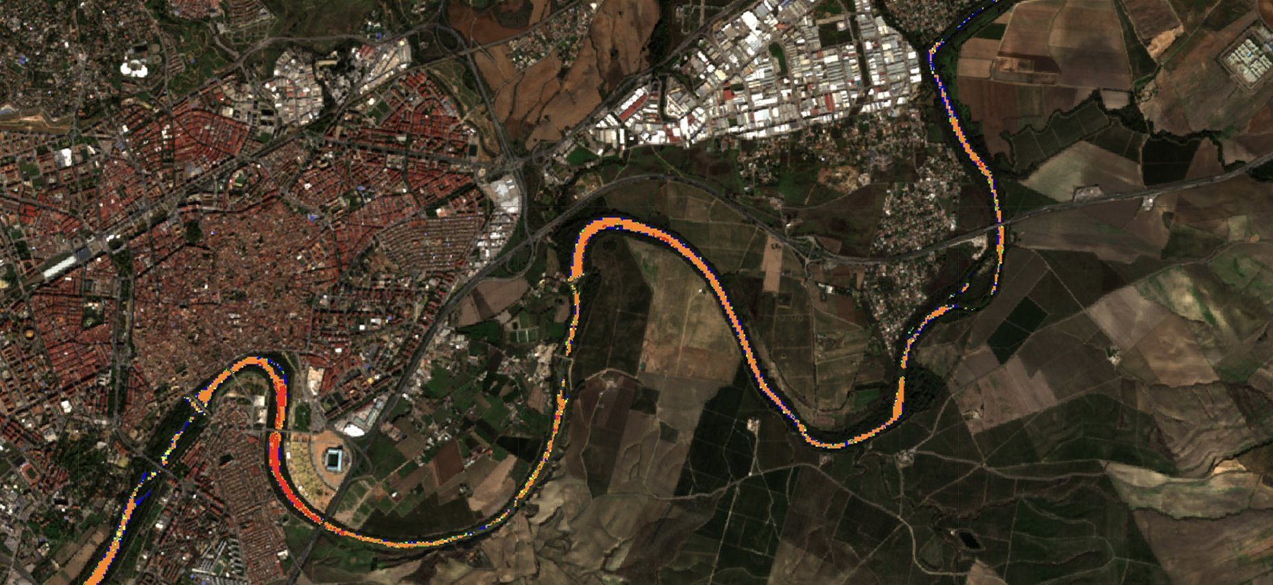
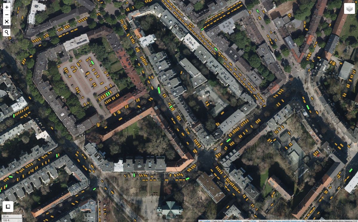
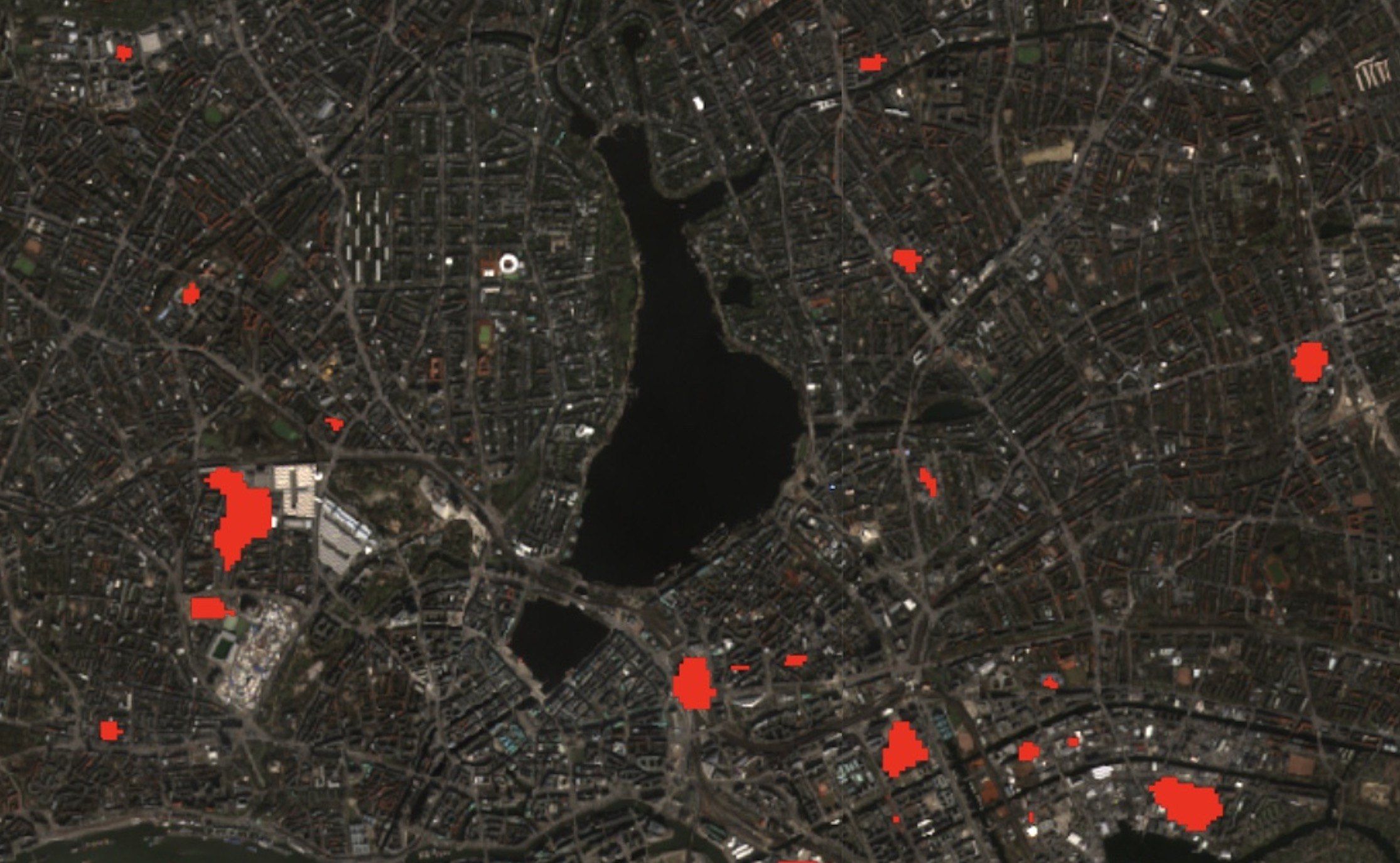
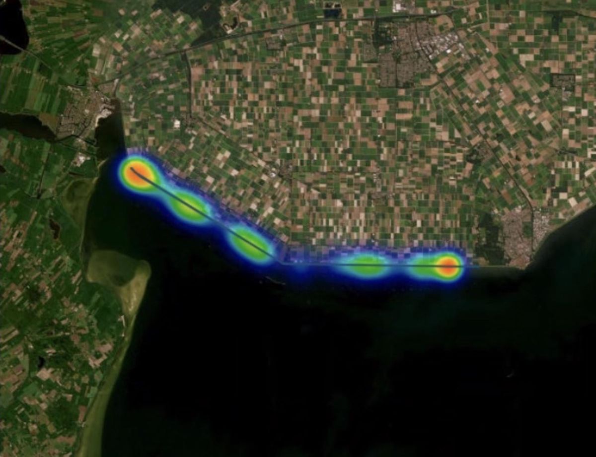
Marple trains AI models to detect objects and patterns in satellite and aerial data, and turns them into meaningful maps and figures. The result: faster, cheaper and better-founded decisions on climate, agriculture and cities.
Who we work with





Working on climate, agriculture or cities?
Tell us what you want to see from space, and we’ll show you what the data can do.
Daniel Lanz